Church of the Mountain, Hiker Center to Leroy Smith Shelter, 20 mi (AT 916)

September 14th, 2018, Pennsylvania

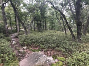
We all got a late start this morning. Griffin and I headed out around 9:30am and we were the first ones out. There was an initial climb out of town then the trail flattened out for much of the day. But several hours into the hike Pennsylvania’s notorious rocks made an appearance. The very rocky trail surface, plus wetness of the rocks and trail, made for slow and sometimes tedious hiking. The rocks were slippery and required attention.

This section of the trail doesn’t have many water sources, or not as many as we have been used to. So water planning, and carrying more water, is becoming more important as we go forward. Luckily it was overcast and fairly cool so our water needs weren’t excessive today. Despite that, there was about a 14 mile stretch with no water. I carried several liters which, added to my full food bag, made my pack feel much heavier than normal.

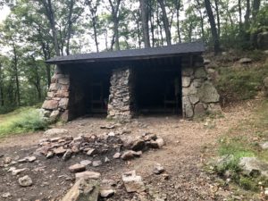
It took until about 6:30 until I reached the shelter. Griffin and a couple others had already arrived. A couple more of the group I met yesterday (Babe, Sonic, and Scraps) arrived a bit later. I set up my hammock, got water from the nearby spring, made dinner, then retired to he hammock early to rest. Tomorrow would be an even longer day and I wanted to get a much earlier start than today.

Brink Road Shelter to Church of the Mountain, Hiker Center, 25 mi (AT 896)

September 13th, 2018, New Jersey and Pennsylvania

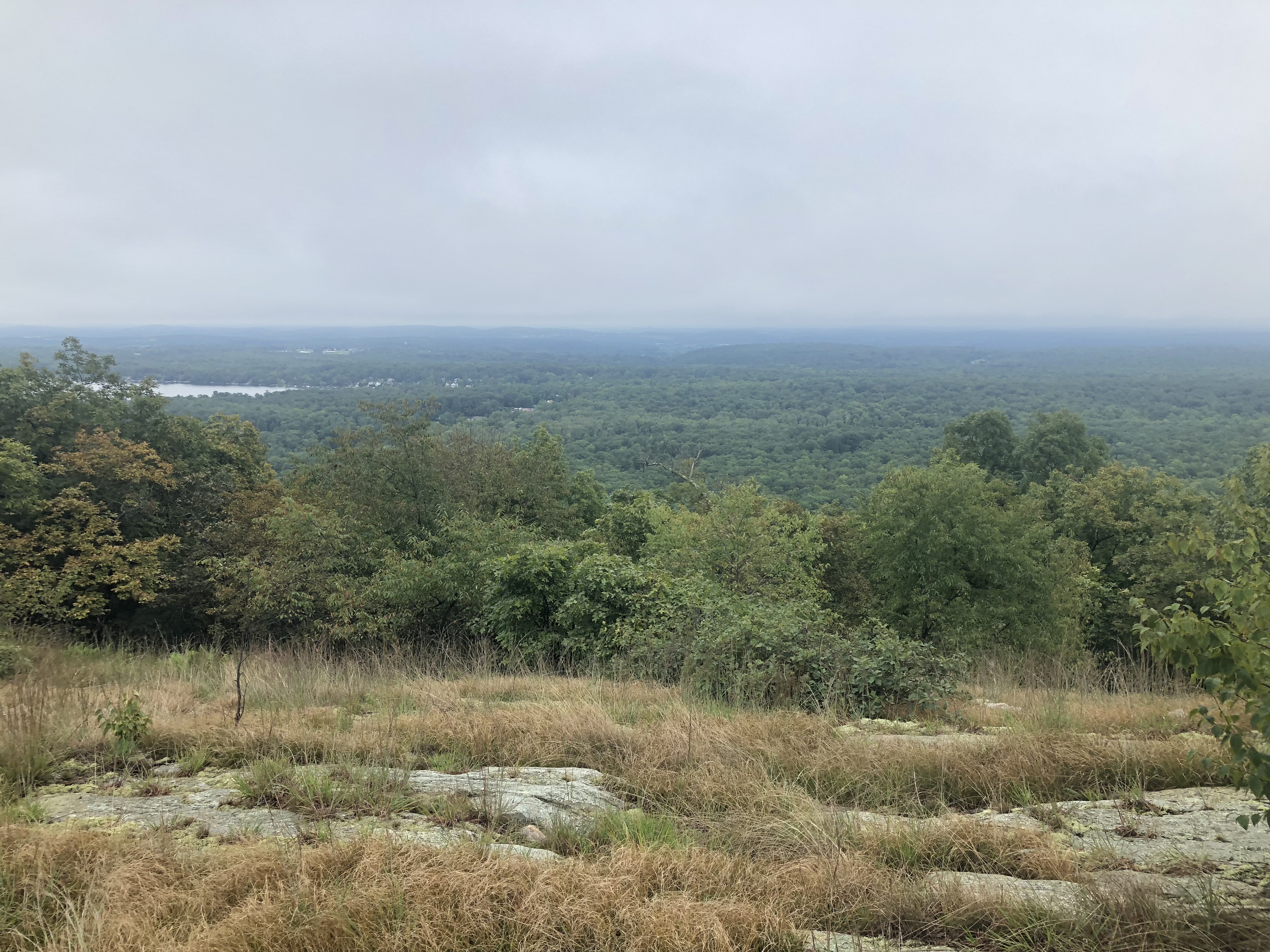
It was a long day hiking the last section of New Jersey. The trail was wet and rocky and made for slower than usual hiking. Fortunately I had started early.

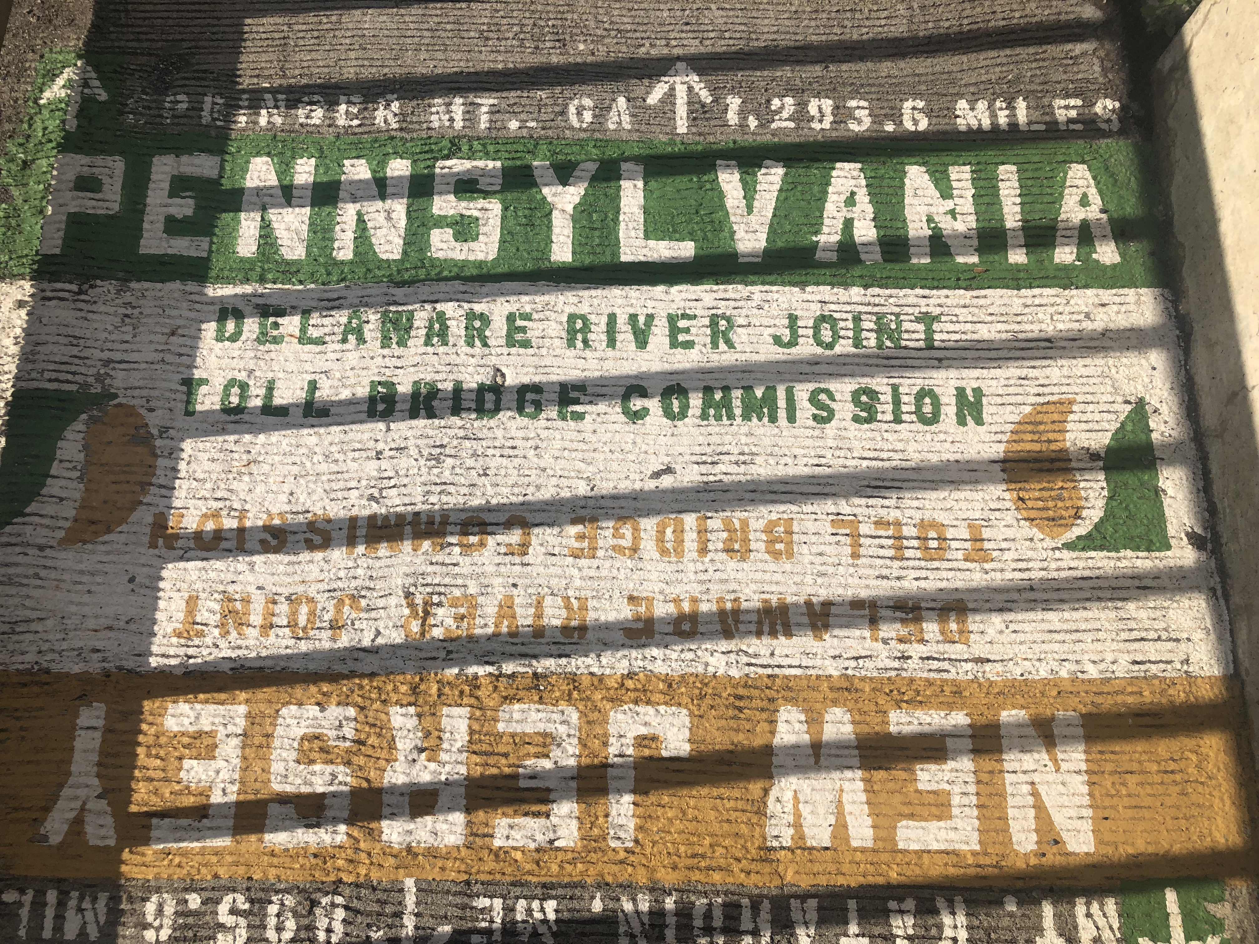
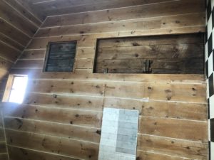
Griffin and I passed each other several times during the day. We were both heading to the Church of the Mountain hiker center. The church has been housing AT hikers for more than 40 years and just accepts donations for a stay. After crossing the Delaware River I left New Jersey and arrived to the town of Delaware Water Gap, Pennsylvania. I arrived to town around 4:30 pm and to the church shortly after.

Griffin and I shared a shuttle to Walmart for resupply and picked up enough food to get to the next town of Port Clinton, about 75 miles away. There were several other SOBO hikers already staying at the center, including Scraps, Sonic, and Babe. I hadn’t met any of this group yet although Griffin already knew all of them. We all planned to hike about 20 miles to a shelter the following day so I may get to know some of them better over the next few days if we happen to stay on a similar schedule.

Secret Shelter to Brink Road Shelter, 25 mi (AT 871)

September 12th, 2018, New Jersey

It was another foggy and overcast day, which actually makes for nice hiking weather, other than views.

After leaving the “secret shelter” I came to a stream with footbridge over it. There was a possum who had just started crossing the bridge in the opposite direction. When he looked up and saw me he turned right around and ran quickly into the woods. I thought it was funny the possum wanted to use the bridge as well.

It rained for a couple hours starting mid day, but not too heavily. It was just enough to keep me cool and slightly damp. But I’ve noticed that, while hiking, you dry out quickly because you’re generating a lot of heat. So a light rain barely gets you wet as you hike—it mainly cools you off.

It was supposed to rain again overnight so I thought I’d look into setting up in a shelter. I reached the shelter around 5:30pm and a few minutes later another SOBO hiker named Griffin joined me. Then, as we were making dinner a third hiker called Walmart arrived. Walmart was heading north and doing some kind of long section. We chatted for a while and all settled down early—around 7:30pm.

Wawayanda Shelter to Secret Shelter, 18 mi (AT 846)

September 11th, 2018, New Jersey

I awoke and started packing up. The hiker who arrived late to the shelter woke up as well. He was called “Southwind” and is from Harpers Ferry. He was hiking New York and New Jersey southbound. He said he had two weeks and had to hike in the bad weather yesterday to keep on his timeline.

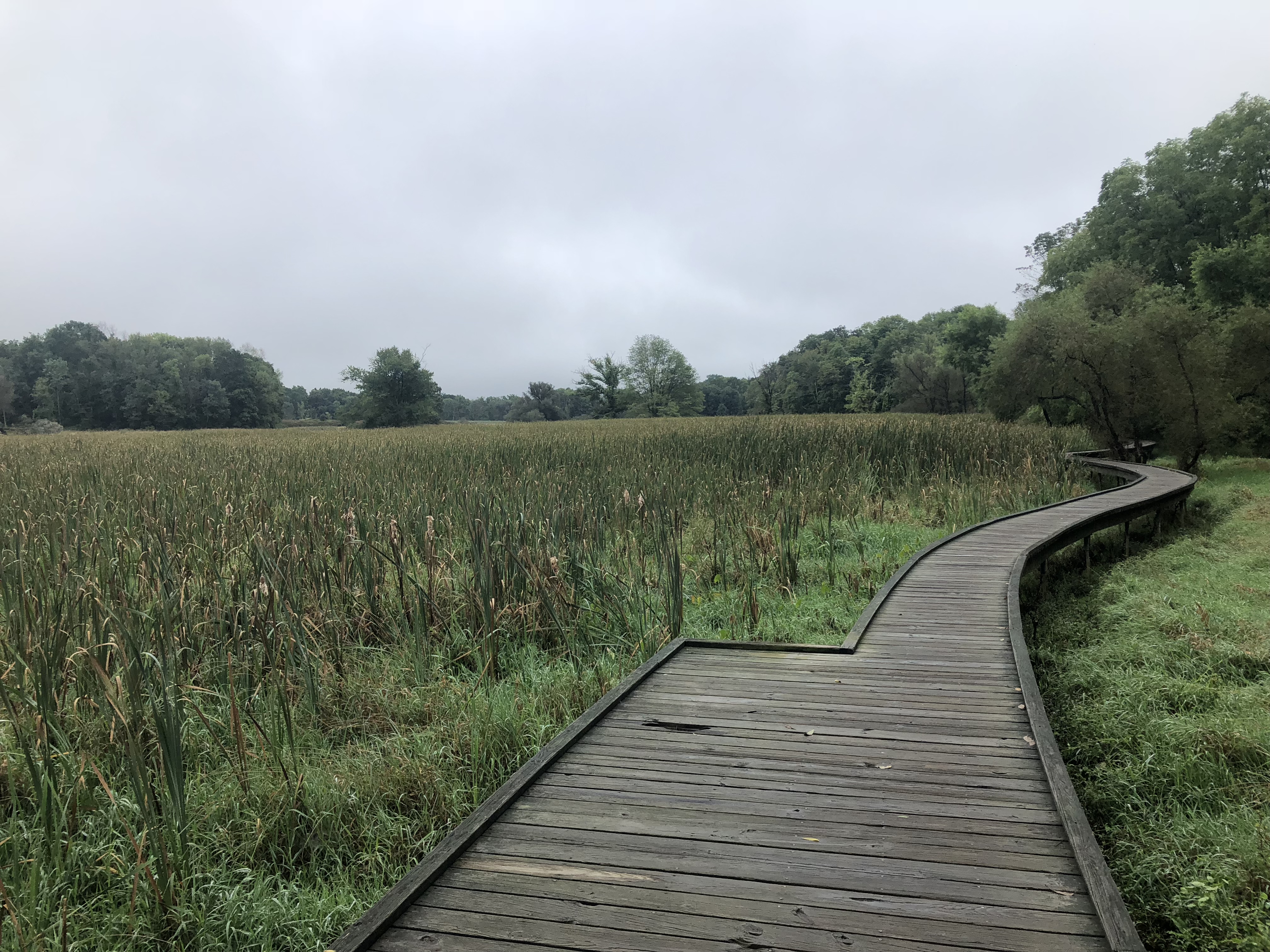
There was a bit of up and down on the trail today, but not much. However, there were some big puddles after the rain and many of the rocks were slippery, making progress slower than it would have been. The trail passed large marshy ponds that were part of a national wildlife refuge with many types of birds.

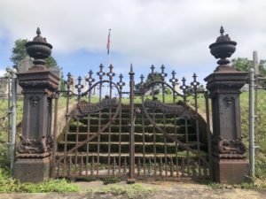
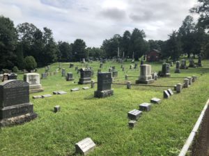
Then I took a short detour into Unionville, NY to visit the small grocery store for a couple days of resupply. On the walk into town I passed the town’s very old cemetery which looked kind of interesting, if I had time to wander through.

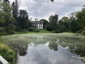
After the grocery, I headed out of town and passed a spooky old house that looked abandoned. It’s hard to see in the picture but the house is literally crumbling from lack of maintenance. But when I passed the front I noticed there was a porch light on…

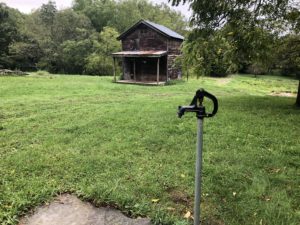
A short way out of town I reached the “secret shelter” or Jim Murray Shelter. This is a cabin on private property that is kept open for long distance hikers. Jim Murray hiked the AT some years ago then bought this property near the trail and built the cabins. There is also water and an outdoor shower. I rinsed out my hiking clothes and got set up to stay the night. I was the only visitor to the cabin over night.

The cabin sits on a beautiful property with a few other small buildings on it. I also walked over to say hello to two donkeys on the other side of an electric fence.

Zero Day at Wawayanda Shelter

September 10th, 2018, New Jersey

Lake stopped in the shelter to make coffee and take a break out of the rain. I hadn’t seen him since Toymaker’s Cafe in Connecticut. His girlfriend was picking him up a little while later from a road crossing a few miles further south. I wished him a good break from the trail and said I’d see him later.

Heavyweight spent the early morning watching the rain fall and decided to stay at the shelter today as well. He needed to be at Bear Mountain on the 14th so still had some time.

Time passed slowly in the shelter. I went to the state park headquarters about a half mile away and charged my things for a while. I was glad they had an outlet available for use. Otherwise it was an uneventful day waiting out the storm.

After dark another hiker arrived to the shelter. He was wet from hiking in the rain. Heavyweight and I made some room in the middle for him but I didn’t get a chance to talk to him until the next morning.

South of Mombasha High Point to Wawayanda Shelter, 15 mi (AT 828)

September 9th, 2018, New York and New Jersey

Late today heavy rain is expected from the remnants of Tropical Storm Gordon—up to 2-3 inches of rain from tonight for the next 36 hours or so. This change in the weather made me reevaluate my previous plan. I should probably avoid hiking tomorrow as the storm is passing through. That means either a town stop or perhaps stay in an AT shelter somewhere.

After consulting the trail guide, the next couple towns don’t have good lodging options. There won’t be enough time for me to make it to Unionville, my next planned resupply stop. And I don’t have enough food to hole up in a shelter for an extra day. So, what to do?

I decided to make a detour to a small grocery in a town about a mile off trail to pick up enough food for an extra day or two, then make my way to a shelter that I can reach by the end of the day. I plan to spend tomorrow hanging out at the shelter which will probably be boring, but restful since the heavy rain and wind will keep me inside. The shelter also has a bear box which will simplify food storage as well.

After a couple hours of hiking I passed a gas line clearing and was entering the tree line again. Just ahead a bear and I surprised each other, perhaps 25 feet apart. We looked at each other for a second and I told him he’d better run and started banging my poles together. He decided to run and jumped up to a granite outcrops on one side of the trail. He then decided that wasn’t where he wanted to go and jumped down to go back across the trail in the other direction. At this point he was committed to running away and I took out my phone to see if I could get a picture or video. He then ran into the cleaning giving me a great view as he made his way away. He started to slow down in the clearing and I encouraged him to leave again.

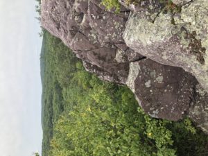
After the excitement I continued on. I made my way to the side trail leading to Greenwood Lake Grocery and diverted into town. It was about a two hour round trip and I was back to the trail. From there, the trail had little elevation change but had a lot of rocks and went up and down the granite hilltops and outcrops for a few hours. This was fairly slow going. But I did cross into New Jersey in the afternoon, marking another AT milestone.

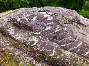
I did notice two interesting things late in the day: first, much of the rock in this area has a purple tint. I don’t recall seeing anything like it so far.

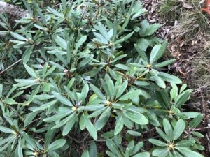
Secondly, rhododendrons suddenly appeared along the trail today. This was their first appearance as well.

And, finally, I came across an ATV with two guys in it driving on the AT. They stopped as I got close and I asked whether they knew they were on the Appalachian Trail. The driver said yes and that much of this area was private property. We were both polite about it but I highly doubt the agreement with the property owner allows motorized vehicles on the trail. I thought I’d discuss this with someone involved with trail matters when I had a chance.

I reached the shelter before 4pm. It started raining lightly around 5pm. I was the only one in the shelter for a while. Then a NOBO section hiker called Heavyweight joined me. He is from central Pennsylvania and is hiking from there to the Hudson River.

Beechey Bottom Brook to South of Mombasha High Point, 19 mi (AT 813)

September 8th, 2018, New York

The trail through New York State today was beautiful and very rugged. The miles took longer and more energy than expected. Sometimes it’s hard to know what to expect, unless you have good information from someone who has gone before you. Otherwise you just make your best estimate and see what happens.

Early on the trail passed right in front of an old Civilian Conservation Corps shelter. The style of building is very much like those at the trail side zoo and museum yesterday.

At the shelter I met a section hiker named White Beard. He is from San Francisco and completed a long section SOBO last year. He is hoping to get through Pennsylvania this year. He said he already did the PCT (Pacific Crest Trail) and is now working on the AT.

I also said hello to three more SOBOs hanging out and eating breakfast after staying at the shelter: SloMo, Tree Man, and Bobsled.

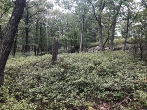
Much of the time today was spent on lovely hills with granite outcrops, widely spaced oaks, and ferns, grasses, or blueberry bushes covering the ground. The trail itself was mostly covered in rocks today. Other than on these big granite outcrops, my attention was mostly down at the trail surface.

It started raining gently in mid afternoon and continued until evening. Already tired from the rugged trail, I found a place to camp a bit earlier than usual and got out of the rain. I think I needed a bit more rest as well, so was glad to stop. The weather over the next three days calls for some heavy rain but I don’t have enough food, or patience, to hole up in a shelter for several days just to stay dry. So I expect to be a bit wet for a while. I do hope to make it near Unionville, NY tomorrow so I can go into town for resupply the following day.

South of Dennytown Rd to Beechey Bottom Brook, 22 mi (AT 794)

September 7th, 2018, New York

It was another quiet and uneventful morning. I hiked for four hours without seeing anyone else on the trail. I did hear the sounds of planes, trains, and automobiles off and on all day, which has been typical of my time in NY so far. And at the four hour mark today I reached the Appalachian Market which is a gas station with deli and pizza service inside.

I ordered pizza and hung out in the market while it was being made. After about an hour I had finished lunch, packed the rest of the pizza to go, and continued on. I have noticed the landscape becoming more and more reminiscent of wilderness areas on the west side of the Hudson River that were my old stomping grounds: those areas surrounding “My Rockbound Highland Home” as it is sometimes called by those who live there.

A few miles later the trail climbed up and followed a nice ridge line paralleling the Hudson. You couldn’t see the river but you could tell something was down there because of the wide open space visible through the trees.

Then, after a short road walk, I crossed the Bear Mountain Bridge over the river. The toll booth and bridge buildings have quite a lot of character and looked like old European buildings.

Just beyond the bridge, at the base of Bear Mountain, was the trailside zoo. It is a small, old type zoo with cages and enclosures. The zoo now houses native animals that have been injured or otherwise can’t live in the wild for some reason. They have birds, foxes, coyotes, bears, etc. The AT goes right though the zoo and my AT guide reported that the bear enclosure is the lowest point on the trail at 124 feet. The zoo also has some old Civilian Conservation Corps buildings housing a few museum-like exhibits. For some reason I really enjoyed walking through here and spent a good bit of time looking around.

The next milestone was Bear Mountain, just uphill from the zoo. There is a nice lake at the bottom, picnic areas, and car access at the top so a few people were out enjoying the day, despite the cool, cloudy weather. There were beautifully made trails on the way up. After the summit the trail continued along the back side of the mountain, but I was the only person back there as far as I could tell. There were great natural views back there due to large granite outcrops with no trees growing. I thought this part of the trail was a real gem—nice trails and great views—and I took my time heading down.

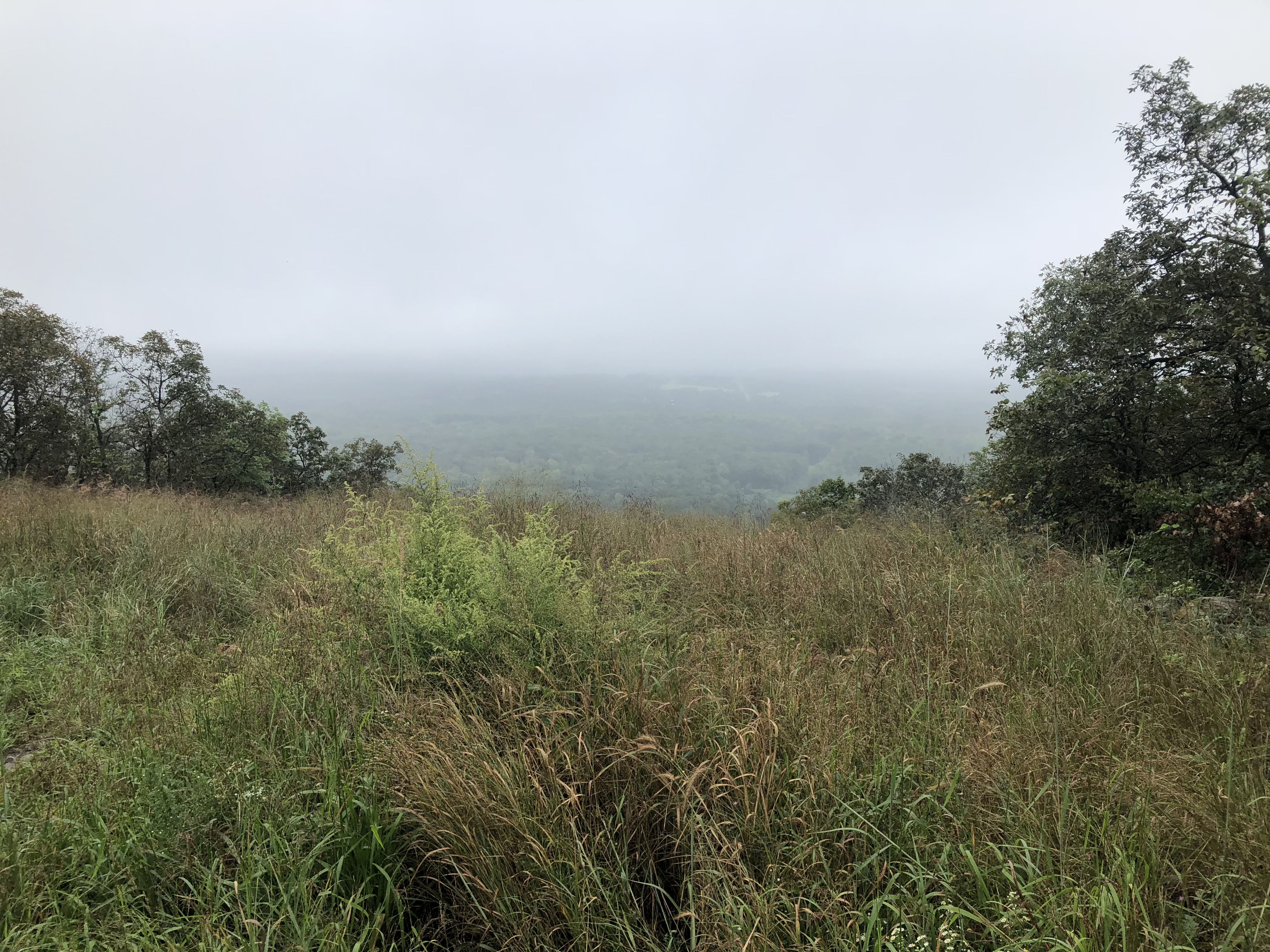
Then, a little later on the next mountain, I got a nice view back toward Bear Mountain. You can kind of see all the exposed granite which made the hike so enjoyable.

I read in the guide that the next shelter probably didn’t have a good water supply so I decided to skip that site and continue until I could get water then find a place to camp afterwards. That worked out well and I got all settled down before 7pm. Tomorrow should be another good weather day, cool and cloudy, then rain is expected the following day. So I hope to get a good night sleep and get as far as I can tomorrow before the rain the following day.
Morgan Stewart Shelter to South of Dennytown Rd, 20 mi (AT 772)

September 6th, 2018, New York

Both MacGyver and Impact were up and getting ready as I had breakfast. This shelter had a picnic table and we sat and talked for a while at the table. They planned to hike to RPH shelter, about 8-9 miles away. I wasn’t sure how far I would go today but wished them well and headed out.

It was supposed to be another warm day with afternoon thunderstorms then cooler weather following the rain. The trail crossed several roads in the morning and I was glad to find some trail angel had stashed water jugs at each crossing. And at one there was a cooler with some cold drinks as well.

A short while later I came to a high point with a view. There were two SOBO hikers resting there—Tinkerbell and Cool Boi. I had seen their entries in trail logs recently and notes of thanks at the water jugs. They were from Boise, Idaho. Tinkerbell is an O.R. nurse and Cool Boi recently completed his PhD in Electrical Engineering.

The trail descended and crossed under the Taconic State Parkway. Just on the other side was the RPH Shelter. It was an old building with a porch, covered picnic tables, bunks, a nice grassy area, and looked very inviting.

I stopped in to have a rest and eat at the tables. A little while later Tinkerbell and Cool Boi arrived. We all had a good break and they said they planned to go to the Canopus Lake Beach as their next stop. It was about 5 miles away which would put them there in mid afternoon. I said it sounded good and I might stop there for a swim as well. I had also read that the park had concessions—snacks, drinks, and grill items.

I headed out first and hiked the five miles in the increasingly warm day. Before the beach there was an overlook. The lake looked like it had quite a bit of plant life—not great from up here. But there was a dock and I looked forward to a cold drink and something to eat.

But as I reached the bottom of the hill and trail junction there was a sign that said the concessions wouldn’t be open daily after Labor Day. Well, that was it. No beach for me. I continued on down the trail for a couple more hours until I heard thunderstorms in the distance. I quickly found a place to set up and thankfully beat the storms. I hung out dry and cozy in my hammock as the storms continued through the evening.

North of Bulls Bridge Rd to Morgan Stewart Shelter, 24 mi (AT 752)

September 5th, 2018, New York

I hiked in complete quiet for the first several hours today—seeing no one else.

Then I passed a mixed group of about 10 hikers taking a rest. They were an orientation group of freshmen from Princeton, along with an older student guide. They were having a great time and said they picked the best orientation activity. One of them had been stung by a yellow jacket and I was stung today as well. There are some nests near the trail and, if you walk quietly and gently, they are not bothered. If you happen to step hard near the nest sometimes they will sting you.

Later, I stopped at a business called the Native Garden Center—a plant nursery. The trail passes right by the nursery and the owner has a gazebo set up where hikers can rest. He also has a water point and outdoor shower to rinse off, if desired. While I was there, someone came out and said there was a meeting taking place about the AT and would I please come join as a thru hiker. It happened that the Appalachian Trail Conservancy’s president, Suzanne, was meeting with the local trail organization to discuss some future initiatives. It was interesting to see the group interacting.

After the meeting I went back to the gazebo, finished lunch, and got going again. Just past the Garden Center the trail crossed the New York Metro North rail line. There was an actual train stop called “Appalachian Trail,” which I didn’t expect. Apparently, you can take the train from NY City to the trail, and back.

In mid afternoon I passed a hiker called Chavez who had started hiking NOBO last year but broke his foot in Pennsylvania. He was now hiking south to finish up. He said his foot was better but he was taking it very easy to avoid re-injuring his foot. He had maybe 250 miles left to go.

I also passed some pastures where there were some wild grapes growing along the edges. I found some ripe ones and picked them to eat.

When I reached my stopping point for the day there was one other SOBO hiker already set up in a tent near the shelter. MacGyver was from Charlotte and had just spent the Labor Day weekend with his wife. She flew up to Hartford, Connecticut and picked him up from the trail. He said the three days off had been good and, after the rest, he had done his longest mileage day yet, despite the heat. I had also gone a long way today and both of us were tired and ready for bed.