Below Baker Peak to South of Stratton Pond Shelter, 25 mi (AT 550)

August 25th, 2018, Vermont

The trail took me over Baker Peak, Styles Peak, and Bromley Mountain, with the last two well over 3000 feet. In terms of mountains, none in the Appalachian range are particularly tall, but you sure do go up and down the ones we have.

A geologist hiker told me some time back the Appalachians are the oldest mountains in the world and used to be about 26,000 feet tall. They are slowly eroding and, in geological terms, will disappear in the future. So it is a good thing I’m doing this now. Then again, future hikers will have slightly smaller mountains each year…

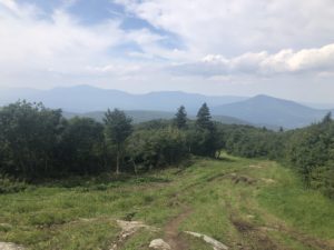
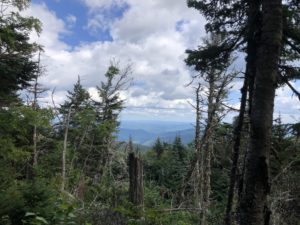
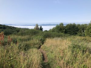
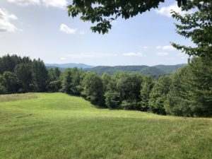
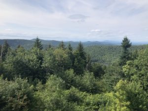
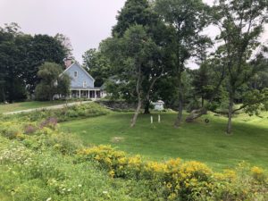
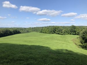
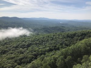
While hiking the three peaks today there were a few nice views.
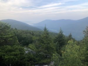
Bromley Mountain was a popular destination for day hikers and was the top of a small ski area.

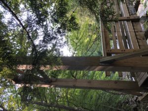
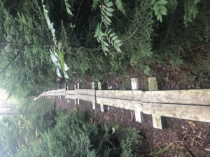
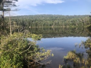
Later, I passed another nice lake which also happened to have the longest section of board bridges that I have seen. It must have gone on for at least a half mile.
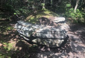
I stopped for lunch right next to the trail. This is only worth mentioning because I sat at a rock that was perfectly bench-like. It was at the right height for sitting and had space for my pack, lunch, and more. There was room for another person and I just needed someone to have lunch with to make it more perfect.
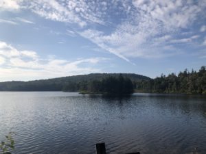
Toward the end of the day I passed another nice lake. It was just a bit too late for a swim and I needed to get a few miles further and find a campsite.
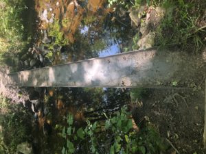
And finally, I have noticed a few of the bridges over stream crossings here are large I-beams on their side. It looks like they may have been recycled from something else. They work perfectly as foot bridges and are much more sturdy than a simple log bridge.
And I met my first (possibly) crazy person on the trail today. I had an interesting discussion with him on the trail.

Near Beacon Hill to Below Baker Peak, 20 mi (AT 525)

August 24th, 2018, Vermont

It was another perfect hiking day with a high of 75 and sunny all day. It was just one of those days that everyone I passed commented on how beautiful the day was.

Around 9am I passed three hikers heading north that I have seen the past several days. I recognized them and said, “okay, I’ve seen you for three days in a row. You must be slackpacking yourselves south.” They said they were and continued on. I said, “see you tomorrow!” I assume they have two vehicles and hike to the more northern one, parked at a road crossing somewhere.

The next day they leapfrog down however far they want the hike to the car they parked the morning before. I’ve been seeing them earlier each day, so I must be hiking farther than they are and will soon reach a point where I don’t see them any more.

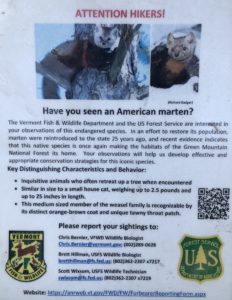
At an info board near a road crossing I saw this flyer asking hikers to report any American marten sightings. I was immediately cheered up upon learning that this animal exists in the world.

I mean, would you look at that face?

Thank you, American marten, for making us happy.

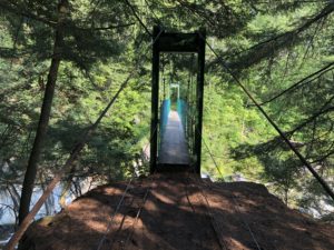
The trail went over two suspension bridges over deep ravines with fast moving water. I was glad the bridges were there.

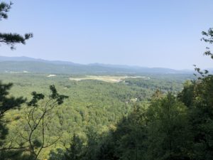
There were a couple places near hilltops where you could see Rutland and it’s airport in the distance. As far as I know, Rutland is the first town very near the trail with an airport. There may have been others but I don’t recall seeing or hearing any other airports.

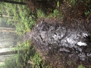
The trail also shifted between nice, flat surfaces to long stretches of rocky and muddy areas.

Then, one rocky area was, according to the AT guide, a rock garden.

Apparently woodland gnomes have been arranging the rocks in this area. I took a few pictures but it was hard to see. Here is a short video of one section.

Around 3pm I came to a lake where a few people were swimming. It was warm and sunny so I took the opportunity to cool off as well—and rinse out my hiking clothes. The water was perfect: cool, clear, and calm.

And on the way out of the pond area I passed a “caretaker” for the shelter and campsite near the pond. Because there is a road with parking nearby, the pond apparently gets a lot of use. The US Forest Service and Green Mountain Trail Club employ a caretaker to collect a $5 fee per person for camping and ensure the area is take care of.

I hiked until around 6pm and found a quiet place to set up camp. Because there was little to no chance of rain I didn’t set up the tarp and enjoyed seeing the trees and sky above.

Yellow Deli Hiker Hostel to Near Beacon Hill, 16 mi (AT 505)

August 23rd, 2018, Vermont

At the hostel I ran into a SOBO hiker called Woody who I have been hiking with on and off for a few days. I also met fellow SOBOs Croatoan, Point 8 (.8?), and Finn. I have been just behind this group for some time.

Last night I walked the short distance to Walmart and the Price Chopper grocery next door for food resupply. I had settled on 3.5 days of food but, after more thought, decided today to add another day of food this morning. I went back to the store before breakfast and bought a few more items. With almost 5 days of food I would be able to go all the way to North Adams, which is closer to the trail than the towns in between. According to the guide it looks like I will be able to walk to a grocery store at North Adams and back to the trail without much trouble.

I didn’t sleep well at the hostel last night. This was my first experience with a true “hiker hostel.” This one is a donation-based place where hikers who prefer can trade work for their stay. I planned to donate the going rate for a hostel stay, but gave a bit less because 1) the window AC ran all night but didn’t seem to do much—the room was hot. And 2) it was cool outside but the windows wouldn’t open. The room really did need some fresh air—it was quite stuffy and stale in there. So I didn’t sleep well and wasn’t impressed with the accommodations. For many others, the ability to stay for free is the big draw. I would have been more comfortable in one of the other lodging options, but you couldn’t beat this hostel for convenience and location. It was across the street from the grocery stores and in walking distance to restaurants. And after breakfast I finished packing and headed to the bus terminal which was also right behind the building.

The bus dropped me back at the trailhead where I left off yesterday. The trail from here headed up Killington Peak, the tallest mountain in Vermont. It is also a popular ski area. During the warm season the gondola carries visitors up near the top of the mountain so I ran into a lot of day hikers heading back down to the base of the mountain on foot.

The trail skirted the peak and the views were very limited. There was a side trail to the peak with better views but given my late start I skipped it and continued ahead.

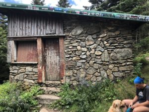
Near the top there was an old shelter which is reportedly in disrepair. I didn’t go inside but talked to a local father and daughter who were hiking for the day with their two dogs. They said they ski all the time in the winter and hike on the trails in the summer.

After coming down the other side of the mountain I stopped at the next shelter down toward the base. It was the first one I had seen with a fireplace inside the shelter.

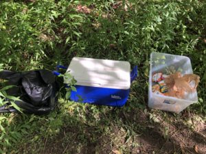
Toward the end of my day I came across some unattended trail magic: a cooler with cold drinks and some snacks in a bin. I enjoyed a drink and did the last couple miles rejuvenated.

I found an out of the way place to hammock camp and set up for the night—hoping for a better nights rest than last night!

Stony Brook Shelter to Yellow Deli Hiker Hostel, 10 mi (AT 489)

August 22nd, 2018, Vermont

It was nice to be inside the shelter during the rain. At the same time, if there are others in the shelter there is often loud snoring. I have earplugs but they only help a little with snoring. So I notice that I haven’t slept that well inside shelters unless it’s quiet—and you never know until it’s too late to do anything about it.

It was raining when I woke up and I was glad to be able to get packed up inside and dry.

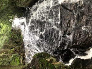
I had about 11 miles to hike to the road to Rutland. There is a bus about 20 minutes past the hour on this road until 7pm. So I got started and took my time. The rain continued off and on all morning. About halfway into the day’s hike the trail passed Thundering Falls. I was glad it was close to the trail because it was a great view.

And there were two houses literally at the base of the falls. The falls were quite loud and I thought it would be like a constant sound machine at those houses.

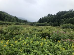
Like yesterday, the trail cut through some open fields and meadows which had a different look on such an overcast day.

I reached the road and waited for the bus. I flagged it down and rode about ten minutes into town. The Yellow Deli Hiker Hostel is right down town, in walking distance to both Walmart, another grocery store, and some restaurants.

Thistle Hill Shelter to Stony Brook Shelter, 22 mi (AT 479)

August 21st, 2018, Vermont

It was a beautiful hiking day in Vermont today. The weather was cool, sunny, and breezy.

And it seems common here for the trail to pop out into meadows and fields as you go, which is still a nice break from the trees.

It also followed some old farm roads for many miles.

And there is a cabin on private property very close to the trail. There is a sign pointing to “the lookout” and it is mentioned in my trail guide. Apparently the owners leave it open and allow hikers to use it as a shelter. The views from the deck above were great.

I decided to press ahead as far as I could today—before the rain started overnight. I reached Stony Brook Shelter around 6:30 pm. There was a father and two adult sons on a week-long backpacking trip. They said they go backpacking together for a week each summer.

I am less than 11 miles from the town of Rutland and plan to stop there tomorrow for resupply, laundry, and a shower.

And here are a few interesting things I saw on the trail today.

Hanover to Thistle Hill Shelter, 16 mi (AT 457)

August 20th, 2018, Vermont

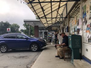
The local co-op grocery was right on my way and very nice. As I was sitting outside with my backpack, I had a few local people ask about my hike. I suppose they see hikers every day through summer and fall walking through town on their way north or south.

Hanover seems like a nice little town and pretty “hiker friendly,” as they say. Last night I had dinner at a pizza place that offers AT hikers a free slice of pizza. There is also a shop that gives a free scoop of ice cream but I didn’t look for it.

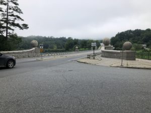
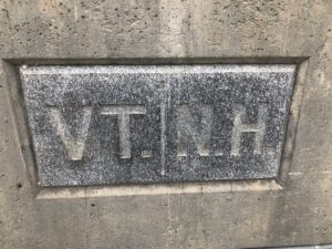
It was a few miles to get out of town. Then I crossed the bridge over the Connecticut River into Vermont. Norwich is the town just over the river.

There is a tiny mom & pop grocery listed in my guide so I stopped in. The lady at the register asked if I had checked with the deli counter about day old sandwiches, which they give for free to hikers. That sounded great to me. I asked and they had quite a lot left over. I took three bacon, egg, and cheese muffins for lunch.

The trail in Vermont was very pleasant so far. There are ups and downs but much of it seems gentle compared with recent weeks.

I passed by Happy Hill Shelter for water and lunch. It was a newer shelter made mostly of local stone.

Once on my way again I met a lady maintaining the trail and her dog. She said her group maintains four miles of trail between the shelter and the upcoming road. She had a basket backpack with tools and a small pole saw. I thanked her for taking care of the trail—it was beautiful and in very nice condition.

I passed every type of road imaginable, from a number of very old farm roads to an interstate highway.

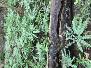
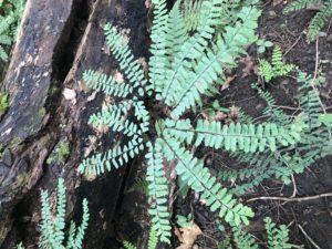
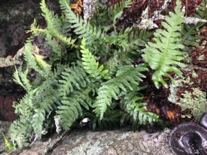
I also started seeing some ferns that grows leaves in a circular group. These were new to me.

The trail also passed a few fields and meadows. There were a nice change from the woods.

And here are a few of the other interesting things I passed today.

Near Grant Brook to Hanover, 18 mi (AT 441)

August 19th, 2018, New Hampshire

It was a nice day from beginning to end today. The trail crossed several minor peaks, including Moose Mountain and one called Velvet Rocks. The up and down was relatively gentle throughout the day.

I continued to see more diversity in plant and animal life compared to the rest of the trail up north. I am still seeing many of the same things as before, plus many more plants that are new. I also see an occasional grey squirrel and fewer of the red squirrels now. The grey squirrels appeared exactly at the same time as the oak trees so I assume they are dependent on the acorns as their food source.

The red squirrels, in contrast, are tiny and probably get what they need from the small pine cones that have been plentiful up north. I have gotten a kick out of the red squirrels. They are quite chatty and fuss at you when you come near. They chatter and make the cutest rubber ducky squeaks that it sounds less like a warning than it is supposed to.

Much of forest today had some old growth trees—much larger than others I’ve seen.

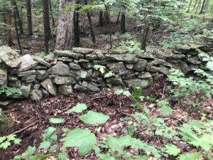
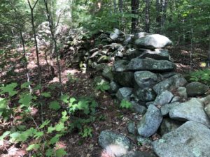
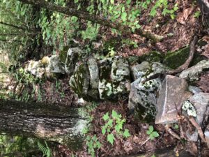
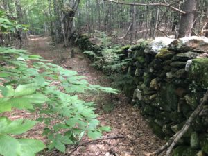
There were also more old stone walls, a sign that we are now approaching more inhabited land. Someone invested a lot of labor to build the walls, perhaps for separating their land from neighboring parcels. I’m not sure why they are here, deep in the woods—and I wonder about the history of the land as I pass by these artifacts.

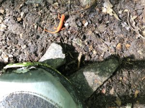
I happened to see another of the orange newts, except very tiny. You can see the toe of my shoe in the picture below.

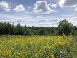
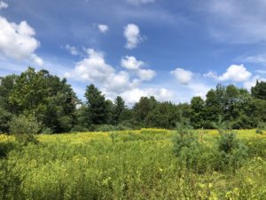
The trail passed through two meadow-like fields full of wild flowers. The bees and butterflies were busy. One field had so many blackberries—I must have eaten a hundred on the way. There were many more just out of my reach in the meadow.

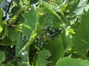
There were also some wild grapes growing there but they weren’t ripe yet.

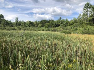
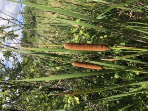
And for the first time there were cattails growing in the lakes and bogs.

I reached the edge of Hanover. The trail goes directly through town.

Hanover is the home of Dartmouth University and looks like a beautiful little town. I set up my camp on the trail outside of town and walked around a bit to get oriented. I hope to stop by the grocery tomorrow for food, shower and do laundry at the public community center, then visit the art museum before heading out again.

And here are a few of the interesting things I noticed on the trail today.

Ore Hill Campsite to Near Grant Brook, 17 mi (AT 423)

August 18th, 2018, New Hampshire

It was a rainy night as predicted. Because I had my hammock over a tent site with cleared, compacted ground, I noticed rain splashing up from the ground and hitting the side of the hammock. I had to get up during the night with my headlamp and make sure there wasn’t something else going on that might get everything soaked. I lowered my tarp a bit which helped but didn’t solve the splashing. I don’t have this problem when hanging over softer ground. I decided that I would try to avoid heavily used tent sites going forward. Places with sloped ground, roots, or rock (places not good for tents) usually haven’t been compacted and can still absorb water.

The rain stopped around 7:30am and I got started around 8:30. The major features on the trail today were Mt.Cube and Smarts Mountain. Both felt like reasonable climbs after the Whites, despite the wet and muddy trail.

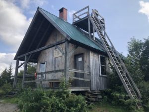
The summit of Smarts Mountain had an interesting shelter that was the former fire warden’s cabin. The cabin is now a trail shelter but actually has four walls, windows, and a door. I stopped to get water near the cabin then continued on, hoping to get a few miles closer to Hanover before finishing for the day.

There was also an observation tower nearby but it was so cloudy it wasn’t worth going up.

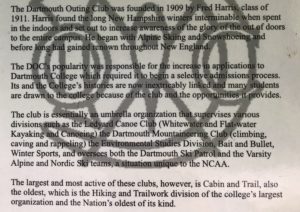
Dartmouth University is in Hanover and the trail goes through the middle of town. Dartmouth Outing Club (DOC) also maintains the trails in the area. The ladies I saw working on Mt. Moosilauke were members of the DOC. A NOBO also suggested I go to the DOC first when I get to Hanover because they allow hikers to store their packs there while in town.

On the way down from Smarts Mountain I noticed the landscape starting to subtly change again. Different plants are starting to appear. For the first time I noticed oak trees starting to populate the forest around the trail.

I also saw a small orange salamander or newt(?) making his way across a large granite outcropping. He was fascinating and looked out of place. I watched him for a few minutes and a couple of northbound hikers came toward me. I showed them the salamander and they said they had seen quite a few of them before. It was the first one I had seen.

Also, for the first time, I started to notice old stone walls and guessed there were old homesteads in this area. It seemed much more livable and potentially productive land than anything in the White Mountains. I also saw the foundation of an old building, sort of like a cellar, though it is hard to make out in the photo below.

There was also an unusual granite trail marker with both northbound and southbound mileage. However, upon checking my trail app, I noticed the mileage is no longer accurate. With changes to the trail it may change total mileage at any time, so permanent mile markers are probably not practical.

And here are some of the other interesting things I saw today.

Hikers Welcome Hostel to Ore Hill Campsite, 8 mi (AT 406)

August 17th, 2018, New Hampshire

For some reason I was wide awake at 2am this morning. We all had trouble with the hostel WiFi last night because too many people were using it. I thought I would take advantage of the hour and finish my work uploading my notes and pictures, which was nearly impossible in the evening. But the bunk room I was in didn’t have WiFi signal so I headed to the main building.

There was a dog who was so excited someone was awake. She ran in circles and wagged her tail—so happy to see someone up. She wasn’t allowed in the building and didn’t try to come in. But she hung out and watched me for a long time, hoping I would come back out.

I sat and used the slow but useable WiFi until nearly 5am then, finally getting tired again, went back to bed. I successfully uploaded everything but it was quite a slow process. Back in bed, I slept fo a few more hours.

I had repacked my box to be mailed forward to another town down the trail. Unfortunately, the tiny post office was only open for two hours a day starting at 12:00. The post office is actually attached to another building that looks like a residence.

While I waited I sat and talked with the other hikers and a guy called “Bag o’Tricks.” He had hiked the AT in 1972 and is a friend of the hostel owner. He drives up from Pennsylvania to hang out at the hostel from time to time. The owner wasn’t around for my stay but was coming back tomorrow after I depart. After chatting for a couple hours Tricks invited me to contact him when I reach Pennsylvania. He said he’d come meet me and any other SOBOs with me, show us around, and take us to get some food. I told him it sounded great and that i hoped to be in touch when I got close.

The weather report called for rain in the afternoon and overnight. I hoped to get out and set up before any heavy rain started. I headed over to the post office, got my box mailed out, and said goodbyes at the hostel. I hiked for a few miles and ran into Carrot Top, a hiker I met briefly in Maine. Carrot Top doesn’t have red hair, but that is another story…

He was hiking to a road today to meet his aunt and spend the night with her family. We hiked for several more miles together until I reached the campsite—just under 8 miles from the hostel. It hadn’t rained much so far but it was going on 4pm, with rain predicted for the late afternoon, and it was a good place to stop. Carrot Top continued on.

In this section of the trail I enjoyed the inconsistency in the size and shape of the trail markings. Before now, they have all been remarkably similar in style—about 2 inches wide by 8 inches high. This went on for a few miles before returning to more “normal” blazes again.

At the tent site I met a NOBO hiker called Rogue Cartographer (or RC) who is an actual map maker living in Rochester, NY. We had dinner together and shared stories of our experiences on the trail so far. He was looking forward to getting to the Whites. For now, I was happy to be finished and heading toward Vermont!

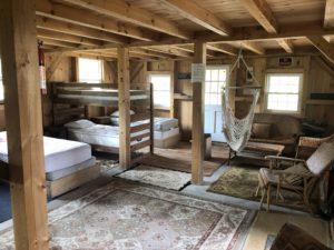
And finally, here is the Hikers Welcome Hostel.

Beaver Brook Shelter to Hikers Welcome Hostel, 7 mi (AT 398)

August 16th, 2018, New Hampshire

I slept inside a shelter last night for the third time. It happened to rain overnight so I was glad to be inside, although I have stayed very dry in my hammock as well. However, one of the others in the shelter started snoring loudly around 2am and continued for several hours. It was at this time I remembered one of the reasons why I have preferred my hammock, unless the shelter is empty.

It was just a couple more miles up to the top of Mt. Moosilauke. As has been the case recently, the morning was overcast and windy.

Up top I ran into two college age ladies working on the trail. They said they had installed some stairs and were doing some other projects as well. They belong to the Dartmouth Outing Club and this was summer employment for them. Their club maintains the trails on this mountain.
On my way down the other side the weather cleared. I had only eaten a snack for breakfast so I decided to take the opportunity at a water stop to make a hot lunch.

As I was cleaning up a father-daughter hiking pair passed. Smiles and Crawdaddy were from Louisiana and happened to be slackpacking from the same hostel I was heading toward. I asked how the hostel was and they said, “well, it’s okay.” We hiked together to the hostel for a few miles.

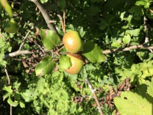
On the way down I saw my first patch of blackberries on the trail. I expect heading south I will continue to find them, though they may be finished producing soon. I also saw a couple crabapple trees. The fruit wasn’t quite ripe but I ate one anyway.
The hostel is in an old house with an outdoor bathroom, shower, and laundry for hikers. They have also built a new bunk house which is nice. But the new building doesn’t have power so you have to use the outlets around the main building. It is a relaxed and informal place and well set up for AT hikers. The name “Hikers Welcome” pretty much says it all. I received my box, got checked in, did laundry, and got cleaned up. I also went through all my gear and made sure everything was clean and dry. I took advantage of the nice weather to sit outside and use a heavy duty sewing kit to do some repairs on my shoes. They have lasted 400 miles but weren’t going much further without some minor repairs to the fabric. The rocks and roots of New England have taken their toll.
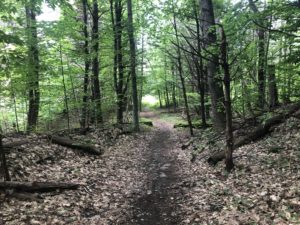
And here are some other interesting things I saw on trail today.