Near Doyle’s River Overlook to Near Little Calf Mountain, 19 mi (AT 1322)

October 5th, 2018, Virginia

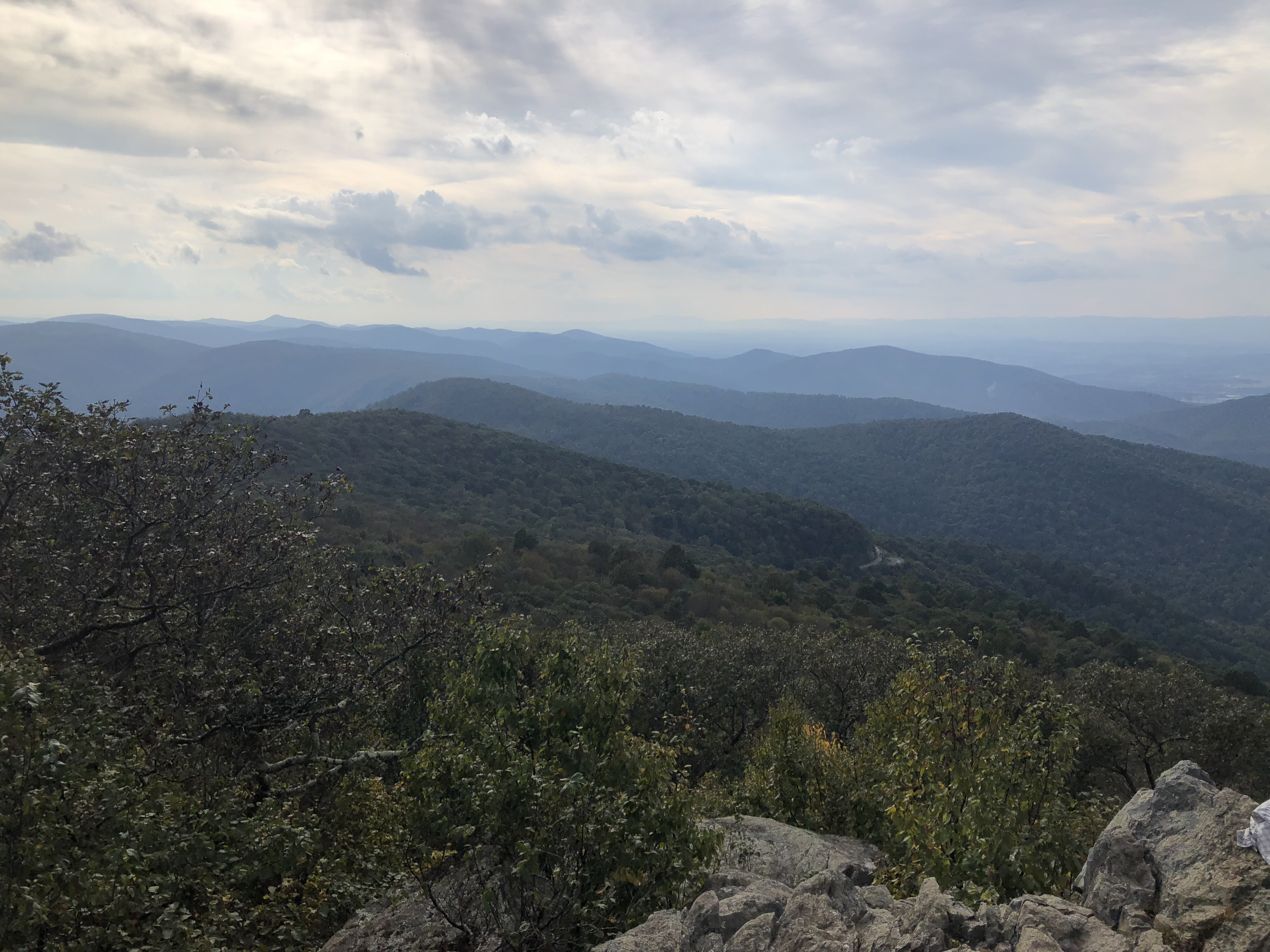
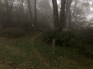
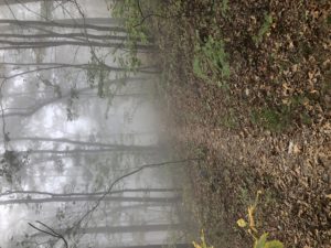
The day started as a misty morning. It was the kind of mist you can feel and almost smell—but doesn’t get you wet.
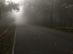
The sun tried repeatedly to break through but, in the end, the mist won. So it was a quiet and ghostly day and would have been perfect for Halloween. 

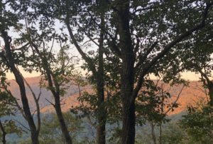
At 7am
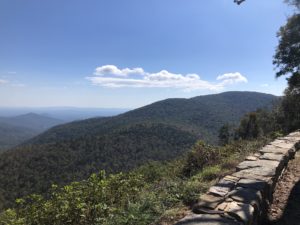
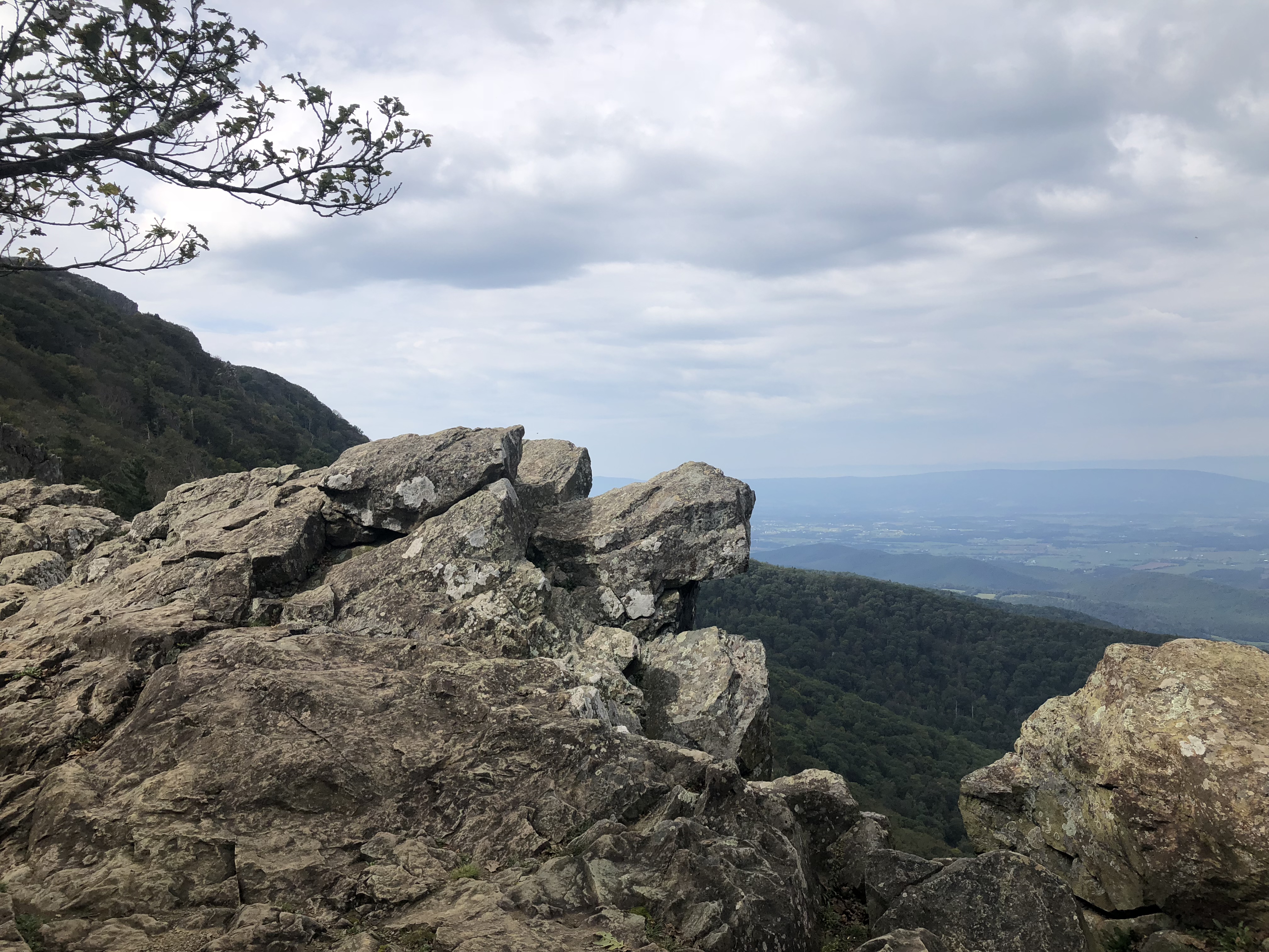
At 12:30pm
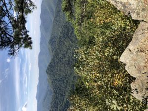
And at 4:30pm

 

I passed a handful of other hikers today—mostly weekend backpackers. Late in the afternoon I passed one guy going up as I was about to head down my last mountain of the day. I said hello and figured I’d never see him again. About an hour later found a spot to camp and got set up. As I was eating dinner the same guy came down the trail toward where I was sitting. I said hello again and that I had seen him climbing the mountain earlier. He said he was just up for a day hike and was heading back to the parking. 

He asked if I was a thru hiker and said he just finished his last AT section this year—he had completed the whole trail. Steve, trail name “Determined,” then said he had some trail magic in the car if I would like some. He gave me several bottles of Gatorade and some apples. This, as the best trail magic is, was truly unexpected and very welcome at the end of a long day. 
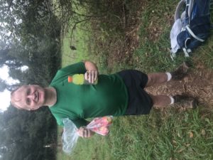
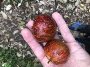
As it happens, I had found an old apple tree earlier in the day and succeeded in knocking down a few ripe apples. So, having not seen a fresh apple for weeks, today I enjoyed them twice, from two different sources!
Near Hightop Hut to Near Doyle’s River Overlook, 17 mi (AT 1303)

October 4th, 2018, Virginia

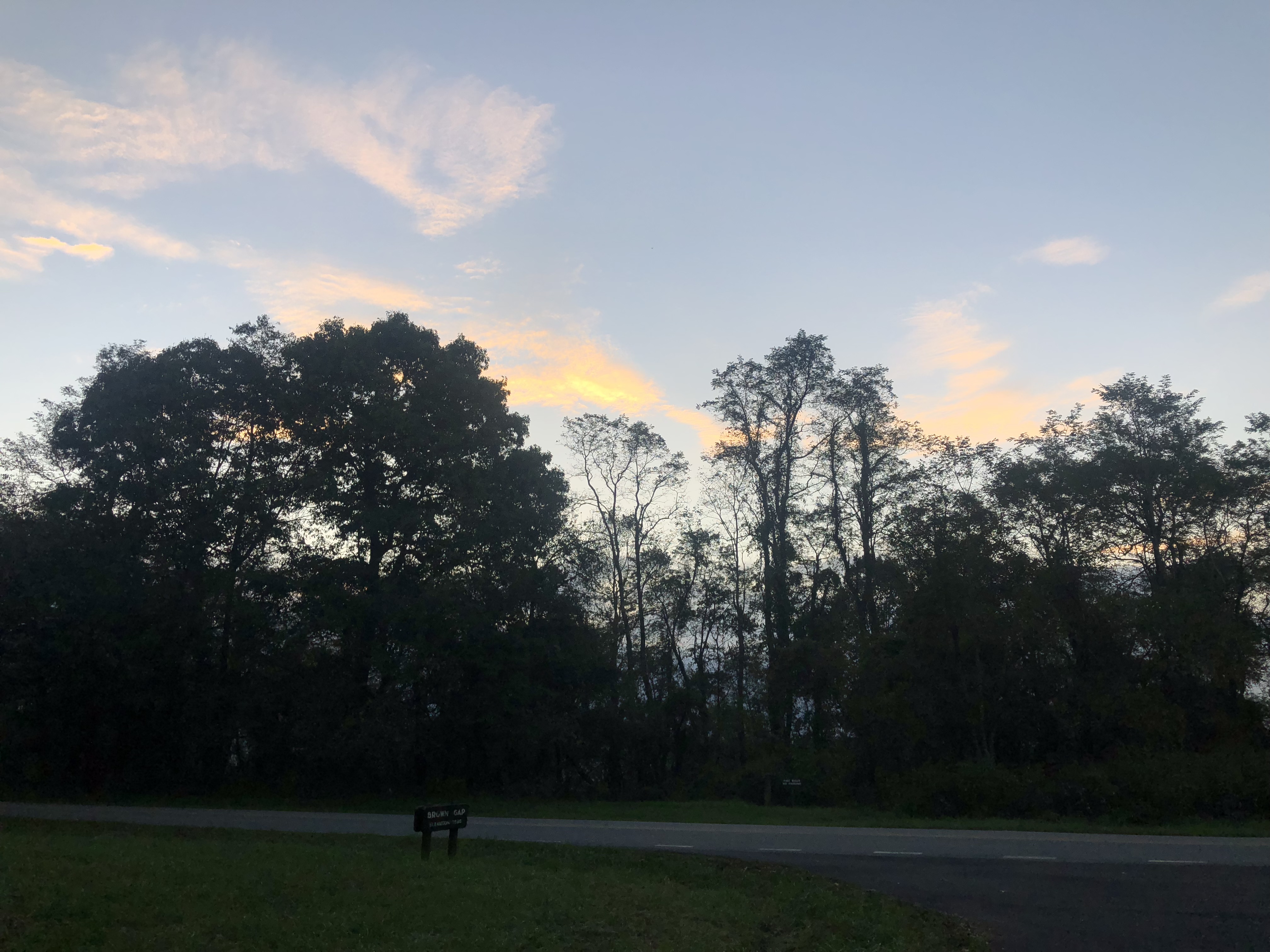
I got a long look at the sunrise this morning, though through the trees along the ridge. 

As the sun rose there were occasional overlooks to take in the day’s views. 

There were two different options for food and resupply today: a wayside or a campground with camp store. They were only a few miles apart, so it was one or the other, not both. The campground was closer to the trail, so that settled it for me and I decided to skip the wayside this time. Loft Mountain Campground was much larger than the last one, with a large store, shower, and laundry facilities. I bought a few snacks plus some much needed pain reliever and compression wrap for my leg. I didn’t need the showers and laundry, but they were impressive.

After the store I continued for a couple more miles and found a quiet place to set up camp along the trail. All areas of the park, unless otherwise marked by signs, seem to be approved for backcountry camping.

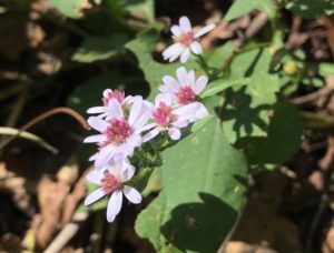
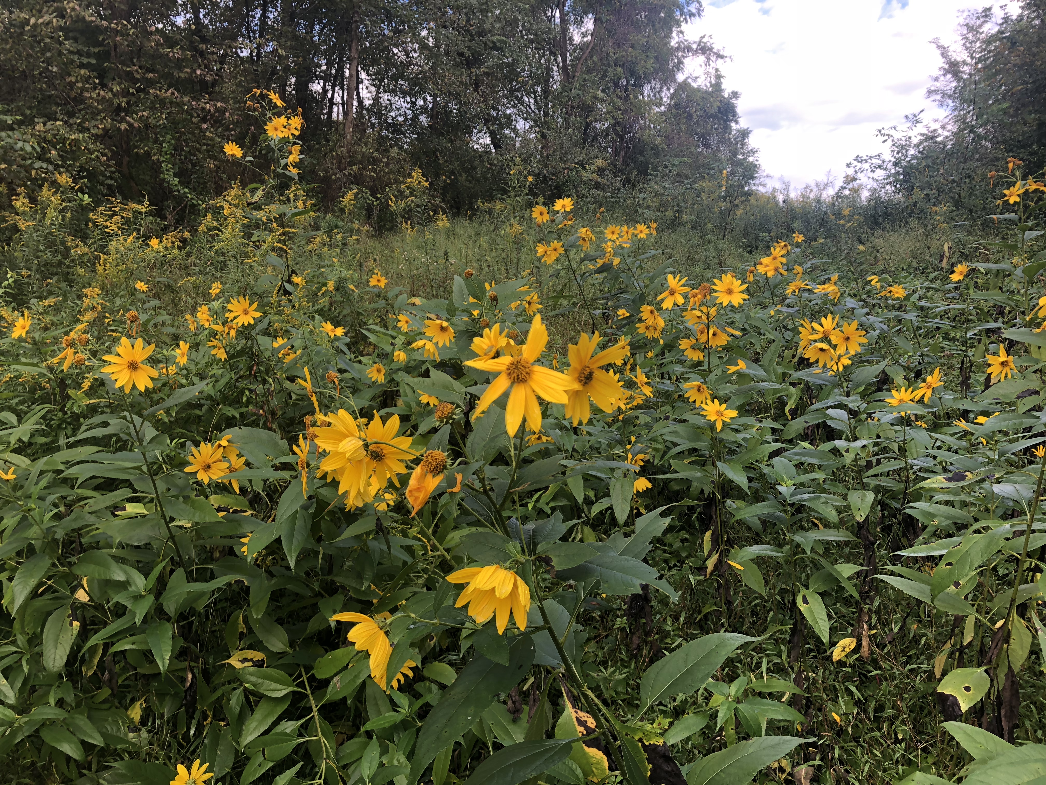
I noticed today that trees in the park are just starting to change color. And all the plants that have been flowering all summer are slowing down.

Having just eaten at the camp store, I went ahead and found a good tree for a bear hang for my food and skipped cooking dinner. I did get hungry later before I fell asleep. But, after dark and already resting in my hammock, it wouldn’t be an easy problem to solve until breakfast…

Near Big Meadows Wayside to Near Hightop Hut, 20 mi (AT 1286)

October 3rd, 2018, Virginia

After three hours of early morning hiking I reached the edge of Lewis Campground, one of the smaller facilities in the park. However, it is very close to the trail and has coin shower and laundry available, plus a small camp store. When I arrived, three other hikers were already doing the same thing. I met fellow SOBOs Toots, Fire Sale, and a third guy whose name escapes me right now. We hung out doing laundry and taking turns in the shower. The three of them finished first and I followed a little while later. 

The three hikers and I passed each other a few times during the day as we went. The three of them decided to camp near the peak of Hightop Mountain. There was a nice spring up there plus a great view. It promised to be a clear night so they would probably get a good view of the sunrise tomorrow. 

I decided to continue another mile or so to the shelter down the other side of the mountain. I got there around 5:00 and enjoyed at least a couple hours in camp before it got dark.

Pass Mountain Hut to Near Big Meadows Wayside, 19 mi (AT 1266)

October 2nd, 2018, Virginia

It was a day of views. The weather, particularly through mid afternoon, was perfect and the trail climbed and followed a couple high ridge lines with numerous rocky viewpoints. I took pictures at one after the next, until it just seemed redundant. Then I’d just stop, look, and hike on. 

In the early afternoon I came along a man and boy on the side of the trail. As I got close I noticed the boy was assembling some kind of hand saw. I asked if they were maintaining the trail and the man said they were about to cut a downed tree that was partially on the trail. I told them the trails in the area were spectacular and thanked them for the job they were doing. 

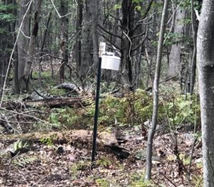
Then I came to an area marked off with measuring tape and two people on the ground working. I had noticed over the past few days some type of monitoring points in the forest. 

There were many of these devices where the two were working. I asked what the monitors were and what they were working on. The guy said they were US Geological Survey employees and were collecting and counting Shenandoah salamanders. The monitors record temperature, humidity, etc. They spent two weeks here collecting data in the spring and two weeks now. They share the results of the project with the Park Service which helps them decide how to manage the wildlife in the park. The park also has a cabin nearby where researchers are allowed to stay for free while doing projects in the park. 

I asked if this was the same orange color salamander that I’ve seen in various places along the AT. He said they are all related but each area may have a special species of it. The orange colored ones are “newts” that are juveniles and live on land. They later turn into the brown salamanders and return to live in water as breeding adults. 

And I came across more deer today foraging right along the trail. They hardly bother to look up as you pass…

Tom Floyd Wayside to Pass Mountain Hut, 24 mi (AT 1247)

October 1st, 2018, Virginia

A few miles south of the Tom Floyd Wayside (shelter) I entered the Shenandoah National Park. There was an unmanned info board and box to fill out back country permits for hikers. I filled out the form and continued on. It was another clear and beautiful morning and, as I would find during the day, the Shenandoah National Park has some great trails. 

Shenandoah Trail Markers

This park runs along the Shenandoah Mountains with a ridge top road for cars and the AT generally running parallel on one side or the other. There are also a series of “waysides” with cafeterias, restaurants, short order grills, etc. Hikers can take short detours to these facilities, if desired. Today around lunchtime I arrived at the Elkwallow Wayside and picked up a bit more food. I hung out for a while at a picnic table and enjoyed the rest as I watched visitors come and go by car and motorcycle. It was a Monday so there wasn’t too much traffic on the main road, but the wayside had a good crowd for lunch. 

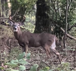
Another thing I noticed on the park is the complete lack of fear in the deer population. I must have passed within 20 feet of a dozen does who usually just watched me pass. I even saw several bucks, although they would run about 40 feet away and watch from there. One was such an impressive male I had to get a picture. He just stood and watched as I got out the phone and took his picture. 

I reached the hut, which is what the park calls the AT shelters, around 6pm. There were already a few people inside. I set up my hammock nearby. 

Manassas Gap Shelter to Tom Floyd Wayside, 14 mi (AT 1223)

September 30th, 2018, Virginia

I planned to meet my friend Bob after 11:30 at a trail parking area about 11 miles away from my starting point this morning. As I was getting ready to depart I noticed a pain above my ankle that started the day before but hadn’t gone away over night. Generally, any aches and pains from hiking have been gone by morning. So I took my time hiking, walking gently on the ankle, and made my way to our meeting point.

Bob and I caught up over lunch then he took me for a short stop through Walmart for a couple things.

He dropped me back to the trail around 3pm and, after goodbyes, I headed uphill for a few more miles to the closest shelter and camping area. I was looking forward to another short hiking day in order to avoid further aggravating my ankle. I plan to take shorter and shorter hiking days until it feels better.

I reached the shelter area about 4:30. I was the only one camping in the area for now. I had a couple snacks for dinner—having just eaten a big lunch a couple hours earlier—then hung up my food bag and enjoyed the peaceful late afternoon from the hammock. Given the very low possibility of rain overnight I didn’t put up my tarp and could enjoy the trees and sky above.

And, just because, here is a raccoon paw print I came across in the mud today…

Sam Moore Shelter to Manassas Gap Shelter, 19 mi (AT 1209)

September 29th, 2018, Virginia

It was another beautiful day—cool and sunny. The trail was still under water in some places. The streams were running high and fast because of the recent heavy rains. My shoes got wet and muddy off and on and stayed generally damp all day. But each day without rain is a bit easier than the one before it as things continue to dry out.

The forest also continued to provide occasional paw paw patches with ripe fruit. It’s nice to get something fresh to eat that I didn’t have to carry.

I met a lady on the trail who was day hiking while her husband spoke at a Cato Institute event in Middleburg. They live in Austin and her husband recently wrote a book about healthcare entitled “Overcharged.” She said he’s written a number of books on academic subjects but this is the first one that “crossed over.” It is also available on Amazon. Her husband is a professor at UT-Austin and she works for the US Forest Service.

I mentioned to keep an eye out for paw paws. We hiked together for a while and eventually found some. We worked together to get them down from the tree then peeled and ate them right there. She had never heard of a paw paw but seemed to like it a lot. Her return loop trail came along and we said goodbyes.

I decided to stop hiking a bit earlier today, about 4:15, to get a bit more time in camp and a bit more rest. After 1200 miles I’m starting to feel some wear and tear and may stop a bit earlier for the next few days.

Harpers Ferry to Sam Moore Shelter, 24 mi (AT 1190)

September 28th, 2018, West Virginia and Virginia

It was a cool morning and the sky was already clearing before day break. I finished the various foods I had in the refrigerator: salad with broccoli and chicken, raspberry yogurt, and strawberries. Not a traditional breakfast but I ate it nonetheless, figuring it was better for me than my other option, waffles and syrup.

After finishing packing I set off back toward the trail. I stopped by the post office to mail a postcard and continued back toward the trail. As I reached the trail a few minutes later there were two hikers just turning onto the same section. It was Griffin whom I hadn’t seen in a week or so, and one of his previous hiking buddies, Roadie. I hadn’t met Roadie before and she said she lives nearby. They were both slackpacking and going back to her parents house again this evening.

We crossed a bridge over the Shenandoah River then returned to the woods and started uphill.

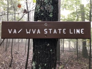
After about an hour there was a sign marking the border between West Virginia and Virginia.

Late in the day there was a great view and a big section of exposed, warm rocks. Griffin and Roadie were already there. They were waiting on Roadie’s father who was going to pick them up this afternoon. He and their dog would hike up, meet them, and all hike back to the car. I waited with them, enjoying the view and talking. It was a perfect afternoon and none of us wanted to leave the spot.

Time came and I continued on. Before long I met a hiker named Cheeks. He had started NOBO and met a girl from England who would become his serious girlfriend. She got injured on the trail so they had to stop hiking. She returned home to England and he had about a month before he joined her there. So he was spending it hiking some more on the AT. He wouldn’t be able to finish his thru hike in that time but wanted to get as far as he could. He said the two of them plan to attempt a thru hike of the PCT next spring. He reached his stopping point for the day so I wished him well and we parted ways.

I reached my stopping point around 5:30pm with enough daylight left to set up, get water at the brook, make dinner, and clean up. It was starting to get dark as I settled into the hammock. The days are getting noticeably shorter now…

Rocky Run Shelter to Harpers Ferry, 15 mi (AT 1166)

September 26th–27th, 2018, Maryland and West Virginia

It was a half day’s hike into Harpers Ferry from the shelter. On the way down I found several more paw paw patches with ripe fruit and stopped to pick a few. I also saw two box turtles crossing the trail in different places.

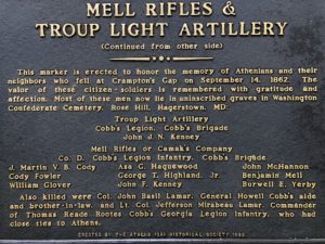
The trail continued through some well marked civil war era historical sites. I stopped and scanned the markers and plaques as I went. Then, to my surprise, I happened upon one marker erected by the Athens GA Historical Society.

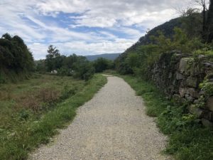
At the bottom of a long hill the trail merged with the C&O Towpath along the Upper Potomac River. This was a long, flat path used to tow barges in man made canals and locks along the river. The path is now a pedestrian and bike path that continues for nearly 200 miles. The river itself looked higher than usual and was really turbulent.

C&O Lock #32

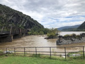
After a few miles I reached the railroad and pedestrian bridge to Harpers Ferry in the next State: West Virginia.

The lower town is primarily a national park with historic buildings, information displays, and exhibits inside some of the old buildings. As you continue toward the upper town, there are a few shops and restaurants along the way before reaching the more populated areas uphill.

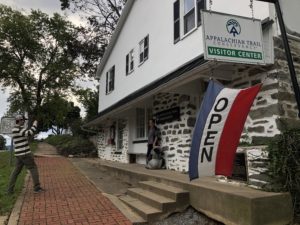
The Appalachian Trail Conservancy is headquartered in Harpers Ferry as well. In the picture you see an ATC employee taking a picture of a thru hiker for their records and hiker photo and info book. I checked in and had my photo taken. I am the 130th southbound thru hiker to reach the ATC this year. I am SOBO 130.

I checked in at the Teahorse Hostel to rest, get a shower, do laundry, and sort through the box I had received from home. The rain continued during my stay and it was nice to be dry and clean, at least for a while.

Raven Rock Shelter to Rocky Run Shelter, 21 mi (AT 1151)

September 25th, 2018, Maryland

I slept in a bit, still tired from the long day yesterday. Big Ben was up and ready to leave before 8am. He said goodbye, and that he would be taking a few days “off” hiking with his father and uncle, who both live nearby.

I took my time and got going at 9:15am. It was still raining and the trail was flooded in many areas. It was slow going again but I planned a shorter day, then another lower mileage day tomorrow going into Harpers Ferry. I passed a handful of day and section hikers heading north but none of us stopped to talk today, perhaps due to the weather.

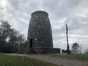
By around 3pm the rain stopped and the sun tried to peek out a little later, which was a welcome sight. And around that time I reached Washington Monument State Park. Apparently some villagers in Maryland built the first ever monument to George Washington in 1827.

And, with the sky clearing, I could almost get a good look at the view. The trail also passed an old stone church in excellent condition. I didn’t see any parking or evidence it was a functioning church and am still curious about what it was.

Around 5pm I reached the Dahlgren Backpacker Campground which is run by the Maryland Park Service. It is for backpackers only with free showers, bathrooms, water point, and tent pads with picnic tables and fire pits. This is the first service like this I’ve seen. I took a shower, charged up my electronics, and had dinner before continuing on another half hour to the shelter where I stopped for the night. Thank you, Maryland!